Severe weather not over yet: Plains at risk for 'intense' tornadoes on Monday
After a brief respite from severe storms over the weekend, the Plains will be the focal point of more severe weather to begin the first full week of May.
Forecast models show several of the ingredients will be in place starting Monday for a widespread severe weather risk from northern Texas to Nebraska.
Some communities highlighted in the increased threat zone include Omaha, Nebraska; Wichita, Kansas; Kansas City, Missouri; and Oklahoma City.
"We will have that low that rolls out of the Pacific Northwest, along with the jet, and it’s guided across parts of the Rockies. And as it ejects out of the Rockies, I think that’s where we’ll have a good chance of seeing storms really fire up," said FOX Weather meteorologist Kiyana Lewis.
The FOX Forecast Center warns that all modes of severe weather will be possible, including hail, damaging wind and tornadoes, some of which will be intense.
KILLER EF-4 TORNADO IN OKLAHOMA IS STATE’S FIRST SINCE 2016
Many of the areas are in the same region impacted by a multiday severe weather outbreak that produced more than 100 tornadoes in late April.
Communities outside of Omaha, Nebraska, southwest Iowa and Oklahoma are still in clean-up mode, meaning some residents are more vulnerable to even just a rainstorm.
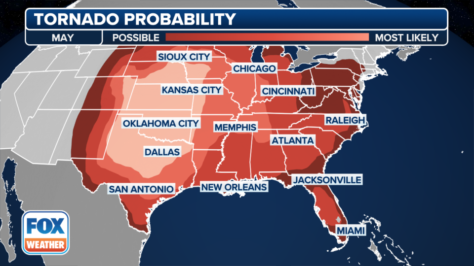
May is typically the peak of tornadic activity across the southern Plains before the jet stream lifts farther north during the summer.
Typically, between 250 and 300 tornadoes impact the country during the last month of meteorological spring, with states such as Kansas, Oklahoma and Texas leading the counts.
During June, there is usually a significant shift in the pattern, with the Dakotas, Minnesota, Iowa and Great Lakes leading the way with severe weather outbreaks.
WHY TORNADO ALLEY IS SHIFTING EAST
Similar to previous storm systems, the frontal boundaries associated with this week’s event will be slow-moving and be forced to ride over a ridge of high pressure, which has kept the Southeast coast relatively dry.
Due to the slow-moving nature of the system, storms will be possible from Tuesday through at least Thursday, but will threaten different communities.
On Tuesday, major cities such as Chicago, St. Louis and Indianapolis could see their best chances for severe storms.
Beyond the early-week timeframe, confidence is not great enough to highlight any one particular region as being at risk of a severe weather outbreak.
Any thunderstorm will be capable of producing hail and gusty winds, but only a few will go on to become supercells, capable of producing tornadoes.
Communities in both the Ohio and Tennessee valleys will likely be the recipients of heavy rainfall, with forecast models showing well over 2 inches possible during the week ahead.
As the event draws nearer in time, so will the confidence of whether widespread severe weather will be possible during the midweek timeframe.
Original article source: Severe weather not over yet: Plains at risk for 'intense' tornadoes on Monday

