‘Potentially explosive’ hurricane season coming, predicts AccuWeather
FORT LAUDERDALE, Fla. — AccuWeather on Wednesday released its seasonal forecast, predicting a “potentially explosive” hurricane season this summer and fall.
The season runs June 1 to the end of November, but there is the potential for tropical systems — storms that gain their energy from hot sea surface temperatures as opposed to a front — forming early this year.
The forecast called for 20 to 25 named storms, with eight to 12 of those strengthening into hurricanes, and four to six of those storms potentially directly impacting the U.S. An average season has 14 named storms.
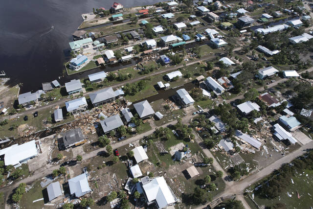
By contrast, the 2023 season had 20 named storms with seven hurricanes. Hurricane Idalia was the only 2023 storm to make landfall in the U.S., striking the Big Bend region of Florida on Aug. 30 as a Category 3 storm with 125 mph winds.
Most of 2023’s tropical systems arced north over the Atlantic before reaching the U.S.
“All indications are pointing toward a very active and potentially explosive Atlantic hurricane season in 2024,” AccuWeather lead hurricane forecaster Alex DaSilva said in a news release.
A key measure of a hurricane season’s power is the Accumulated Cyclone Energy, or ACE, which tallies the intensity and lifespan of tropical systems in the Atlantic Basin over the course of a year.
The norm is a score of 123. Last year, an above-normal year according to the National Weather Service, had a score of 145.6. AccuWeather is predicting this year will reach a score of 175-225.
Hot water
Warm water fuels tropical weather systems and helps them leap up to hurricane power. Currently, water temperatures off the west coast of Africa, where many tropical weather systems form, are abnormally high.
“When you look back at historical sea surface temperature in the Atlantic’s Main Development Region (off Africa), recent average water temperatures jump off the chart,” said AccuWeather Chief Meteorologist Jon Porter. “They are the highest observed this early in the season in the available records.”
He is highly confident sea-surface temperatures across the Atlantic basin will remain well above the historical average throughout the 2024 hurricane season, said the report.
“This is a very concerning development considering this part of the Atlantic Ocean is where more than 80% of the storms form, which go on to become tropical storms or hurricanes.”
La Niña and climate change
El Niño, which caused Florida to have a relatively wet winter, is in the process of neutralizing, and forecasters at the National Weather Service say there’s a 62% chance of a La Niña emerging this summer. La Niña’s warmer Pacific water temperatures typically mean lighter wind shear in the Atlantic. Wind shear can topple hurricanes as they form.
Other factors remain wild cards. It seems too early to tell if Saharan dust will inhibit storms, as it has been known to do. It’s also unclear what a feature called the Bermuda High will do. This semi-permanent high pressure over the Atlantic allows storms to arc north away from the U.S. if it’s weak, or steers them west into the U.S. if it’s strong.
Forecasters at AccuWeather also noted the impact of climate change. Though there’s no indication climate change has resulted in more storms, there has been an increase in intensity.
Warmer waters also cause water’s volume to increase. “Thermal expansion, combined with the melting of land-based glaciers due to climate change, has resulted in a steady rise in sea level, especially along portions of the U.S. East Coast,” said AccuWeather senior meteorologist Brett Anderson. “The same exact landfalling hurricane, in terms of strength and track with a similar tide, will produce significantly more coastal flooding along exposed areas, compared to a storm 30 to 50 years ago.”
Remove the ads from your TribLIVE reading experience but still support the journalists who create the content with TribLIVE Ad-Free.

